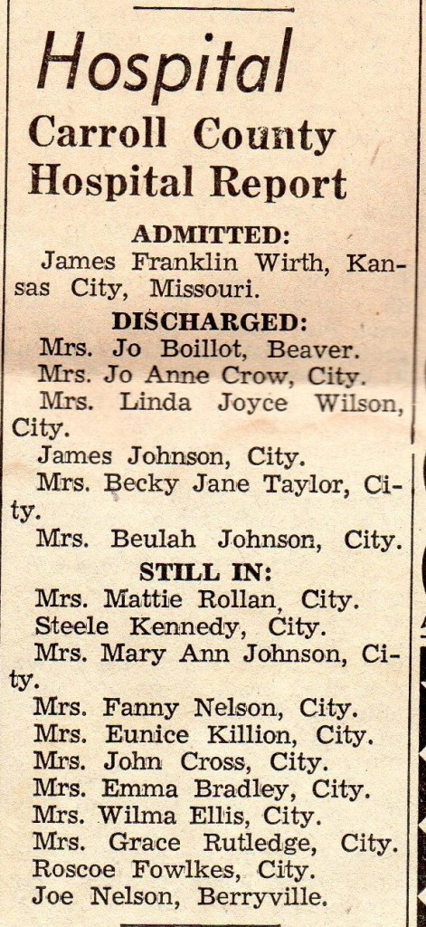
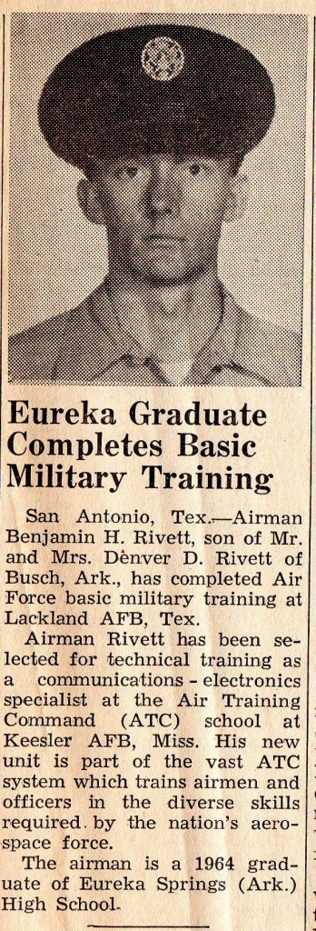
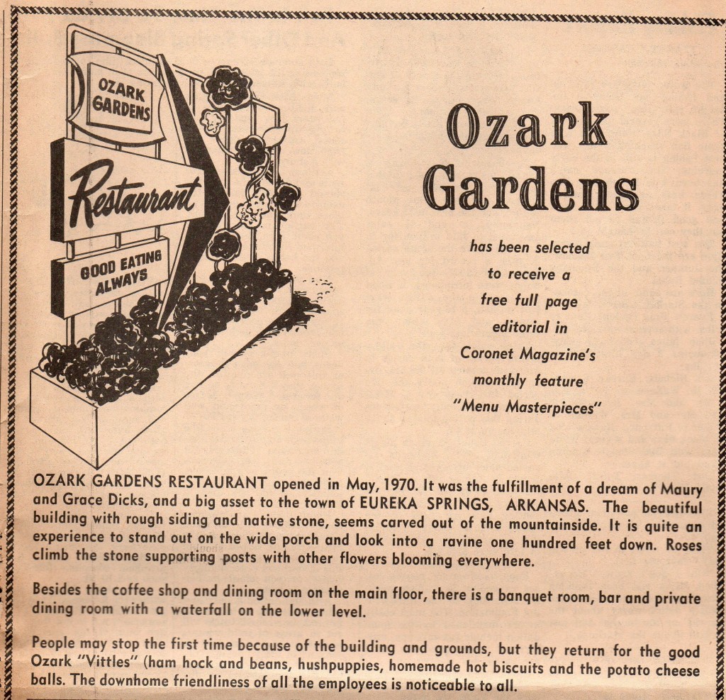
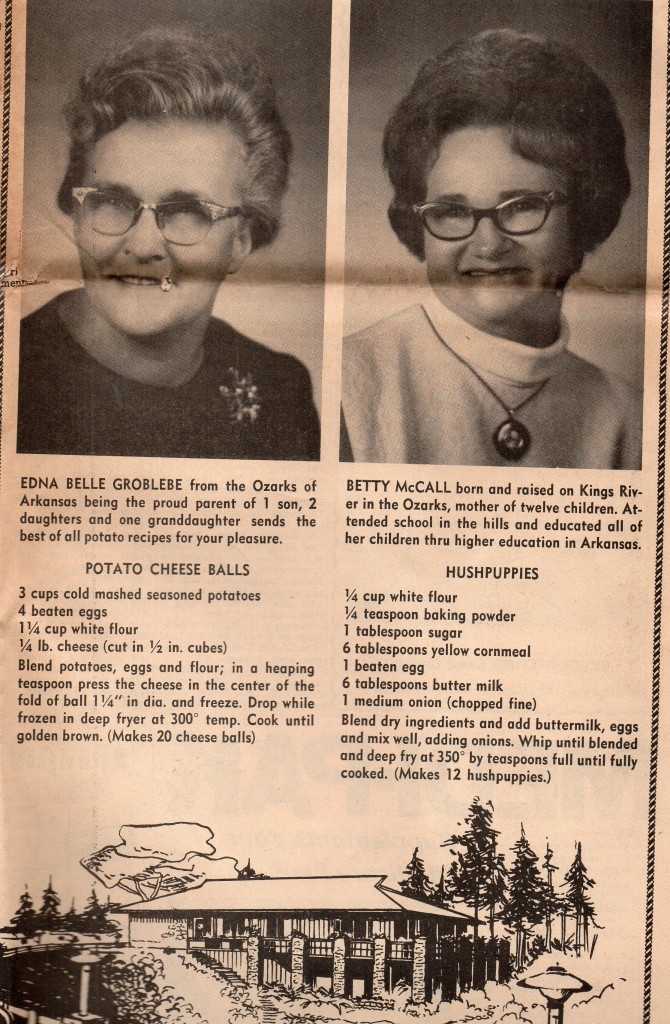
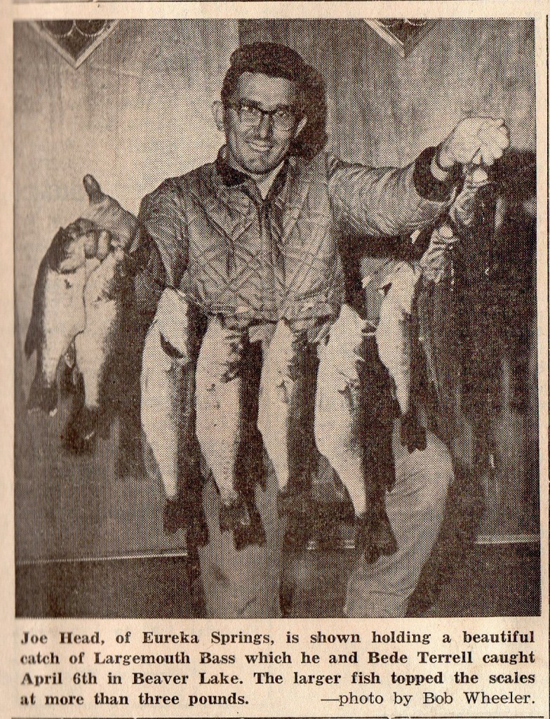
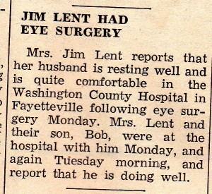
This hospital report is from page eight of the April 15, 1965 edition of the Eureka Springs Times-Echo newspaper. At the time, the Carroll County Hospital was located in Eureka Springs. With privacy laws as they are, hospital reports are now a thing of the past.
Category Archives: Eureka Springs Area History
1965 Benjamin Rivett
1971 Ozark Gardens
1965 Joe Head
1965 Jim Lent Had Eye Surgery
1965 New Basin Movie Theatre
Where is Water Street?
This all started with a discussion of what I always thought of as “Little Lake Eureka,” the small spring-fed lake at the end of Douglas and Steele Streets. I’ve always thought it was one of Eureka Springs’ prettiest spots. I’ve read that it was the city’s first water supply and that it was fixed up nice as Eureka’s main swimming hole at one time.
Here is a Yahoo! aerial photograph showing that area of the city. I circled the lake, but it is so small it is hard to make out.
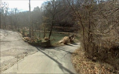
Using Google Maps’ Street View, this is what you’ll encounter if you drive to the end of Steele Street:
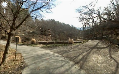
This is what you’ll see if you drive to the end of Douglas (Street or Road, I’ve seen it both ways):
And here is a view looking up the lake from the dam:
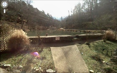
If you look toward your right, you’ll see this picnic table under a little bluff with some nice rockwork:
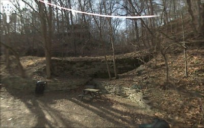
As an aside, I noticed this item in the November 17, 2007 police report in the weekly Lovely County Citizen: 9:53 a.m. — A caller informed police that one of the raccoons which frequent Little Lake Eureka was apparently a little under the weather.
So what does all of this have to do with the aforementioned Water Street?
I did a little reading up on Little Lake Eureka and in one spot it mentioned that Water Street ran up this same hollow and was the original main entrance into the city. I couldn’t recall a Water Street and had a difficult time imagining that hollow as the main entrance into the city.
I perused a modern street map of Eureka Springs and couldn’t find Water Street. But then I read an article referring to the hollow from Little Lake Eureka to the Flint Street Chapel as the Water Street Park. That seemed to be a clue.
Then I recalled that the website www.eurekaspringshistory.com had scans of some old maps from the Carnegie Library. On a 1923 Sanborn map the website displays, there is indeed a Water Street between Douglas on one side and Flint and Steele on the other side. These streets run off the edge of the page shown and the map doesn’t include the lake, so I’m still having a tough time picturing Water Street. If it weren’t snowing so hard right now, besides being dark out, I might run down there and take a look.

