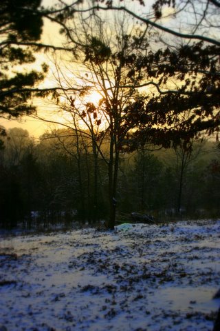
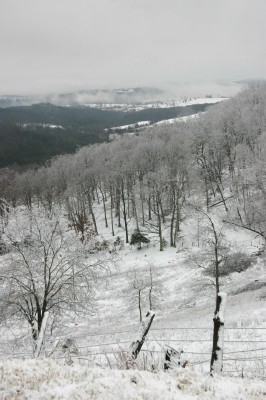
The purpose of my expedition into the McIlroy-Madison County Wildlife Management Area was to investigate Keg Hollow.
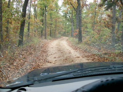
This is a good time of the year to explore some of the unimproved roads of the WMA because they are locked away behind gates 8 months out of the year. The WMA designated Road 6a takes one into Keg Hollow and it follows streams and the natural contours of the hillside as it drops down about 400 feet in elevation to the bottom of the hollow, where its cumulative waters drain into Rockhouse Creek.
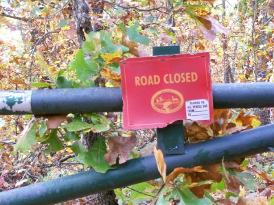
This is a fairly remote part of the Arkansas Ozarks, but I expected to see hunters out as muzzleloader deer season is open. I drove a total of 13 miles through the McIlroy-Madison County Wildlife Management Area on this day and didn’t meet a single vehicle on the roads. (Disclaimer: After leaving Keg Hollow, I did see two men garbed in traditional camouflage with bright orange vests sitting in lawn chairs next to the road by two pickup trucks.)
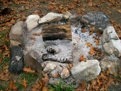
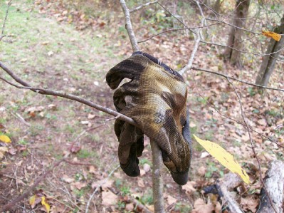
Despite not seeing another human being in Keg Hollow, I did see signs of recent activity. Besides the tire tracks in the muddy road, I ran across a smoldering fire and a glove hanging from sapling limbs.
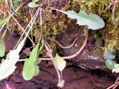
 The creek beds were mostly dry when first dropping down into Keg Hollow, but after a ways there is a sizeable spring next to the road. After that, the creek beds appeared to hold water year around, at least it seemed to me that is what all the minnows indicated. When I tromped over to where the spring flowed out of the hillside, I scared some creature in the water. At first I thought it was a pale salamander, but it may have been a grayish crawdad the way it darted. Then, gazing down into the small pool of water, waiting for movement, I saw what obviously was the tail of a salamander sticking out. Well, maybe it was the tail of a snake. I was sure it was one or the other. I watched a long time waiting for the tail to twitch but the creature stayed completely still. Finally, I got a long twig to scare the little thing so I could identify it. I felt foolish to discover it was a plant root, not a tail.
Though Road 6a is marked as unimproved on the map, any car could easily use most of it, the road is that good. In fact, most of it is a better, smoother road than the little road into our hollow. But there are some sections of the Keg Hollow road that would be a challenge for 2-wheel drive vehicles.
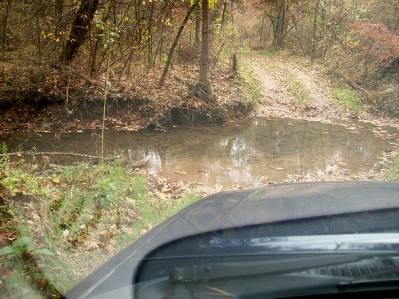 As with much of the forested land around here, Keg Hollow still showed plenty of damage from the 2009 ice storm. I’ve heard it said more than once that it’ll take trees at least 20 years to recover from the destruction of that winter.
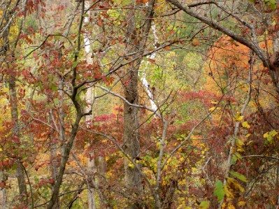
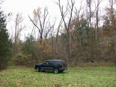 After crossing Rockhouse Creek, the road actually leaves Keg Hollow and climbs the steep facing hillside. I looked back for a last glimpse down through the trees to where the creeks merged.